描述
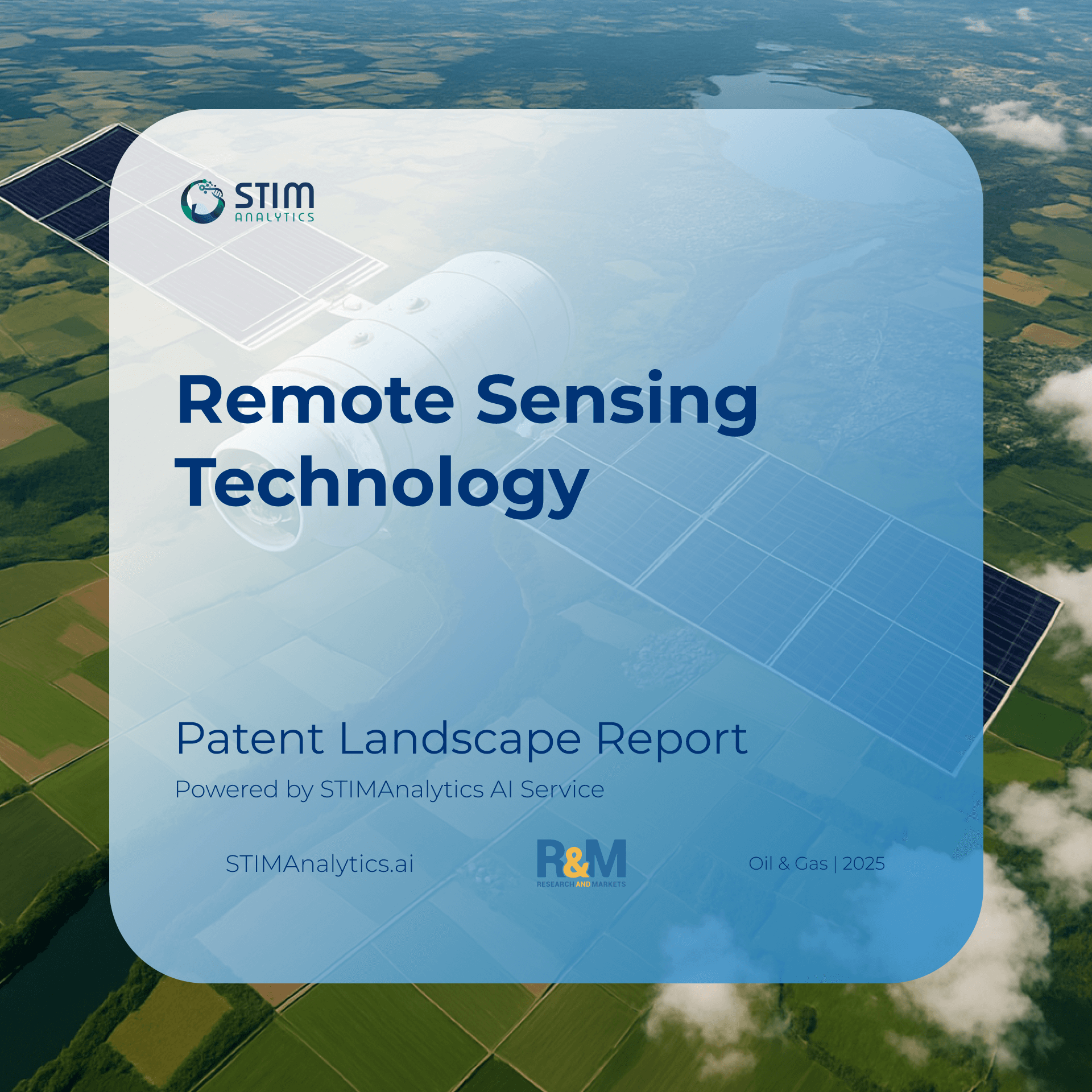
这 Remote Sensing Patent Landscape Report provides an in-depth patent landscape analysis, covering 18,309 patents from 2010 to 2024, collected across major global jurisdictions. This comprehensive dataset is derived from international patent filings and includes details on market trends, growth projections, and technology clustering, forming the basis for examining the evolution of satellite-based and AI-powered remote sensing technologies. By integrating both quantitative and qualitative data, the report establishes a solid foundation for assessing patent applications, technological advancements, and market growth in the remote sensing sector. This multifaceted approach supports insights into current competitive positioning and potential areas for future expansion in earth observation, environmental monitoring, defense, and commercial geospatial services.
The report is organized into key sections, each offering critical insights into various aspects of the remote sensing industry. The primary sections include the Patent Landscape Overview, Market and Competitor Analysis, Technology Analysis, and Key Players. Each section provides a unique viewpoint designed to support strategic decisions for research, investment, and competitive positioning within the global remote sensing domain.
景观概况
The landscape overview presents a clear picture of patent activity in remote sensing technologies, tracing trends from 2010 to 2024. The analysis reveals a strong upward trajectory in patent filings, with marked acceleration after 2015 and a peak in 2021. China, the United States, and Europe dominate patent activity, while Japan, South Korea, and India also demonstrate steady contributions. This growth reflects widespread adoption of satellite imaging, UAV-based sensing, AI-driven image analysis, and sensor fusion across defense, agriculture, climate science, and infrastructure monitoring.
市场分析科
The market analysis section explores the commercial dimensions of the remote sensing industry, including global market value, deployment trends, and regional segmentation. The market was valued at USD 16.1 billion in 2023 and is projected to grow at a CAGR of 8–10% through 2030. Key growth drivers include demand for climate and environmental monitoring, defense and intelligence applications, precision agriculture, disaster management, and infrastructure planning. Asia-Pacific leads in adoption, followed by North America and Europe, with strong overlaps between patent activity and market uptake in satellite-based and AI-enabled services.
技术分析科
The technology analysis section reviews core innovation areas such as multispectral and hyperspectral imaging, synthetic aperture radar (SAR), LiDAR, AI-driven geospatial analytics, and cloud-based remote sensing platforms. Top IPC categories include G01C (measuring distances, positions, and altitudes), G01S (radar, sonar, LiDAR), and G06T (image data processing). Emerging trends include deep learning for object recognition, autonomous UAV sensing, near-real-time analytics, and blockchain-enabled data sharing. This section identifies the leading clusters and patent themes that are defining the next generation of remote sensing capabilities.
顶级玩家部分
The top player section offers insights into leading organizations driving remote sensing innovation, such as China Aerospace Science and Technology Corporation (CASC), Airbus Defence and Space, Maxar Technologies, Planet Labs, Lockheed Martin, and the Indian Space Research Organisation (ISRO). CASC leads in satellite development and data processing patents, Airbus emphasizes commercial satellite constellations, and Planet Labs is a pioneer in small satellite earth imaging. The report also maps collaboration networks, showing how partnerships between governments, research institutions, and private companies are fueling both technological advances and commercialization.
全面的
The report provides a comprehensive view of the remote sensing industry — from patent and market trends to competitive dynamics and technological priorities. Each section interlinks to present a cohesive understanding of the state and future direction of remote sensing science and applications. By blending patent data, market insights, and in-depth analysis of key technologies and players, the report functions as an essential guide for stakeholders in R&D, policy-making, defense, and investment who aim to leverage advancements in remote sensing for global impact and commercial advantage.
您将获得:
200+ Pages PDF Full Report
40+ 页 PDF 幻灯片
包含扩展数据的每个图形的 Excel 文件
可能对该报告感兴趣的人:
Chief Technology Officer
业务发展专业人员
企业战略主管
研发和创新官员
投资分析师
产品经理
Earth Observation Program Directors
Environmental Monitoring Specialists
Defense and Intelligence Analysts
Vice President – Engineering
Vice President – Operations
Heads of Space Programs
企业规划专业人士
Geospatial Data Scientists
Market Intelligence Specialists
创新主管
策略主管
首席运营官
业务分析师
Remote Sensing Consultants
Academics and Policy Advisors



评论
尚未有任何评论。